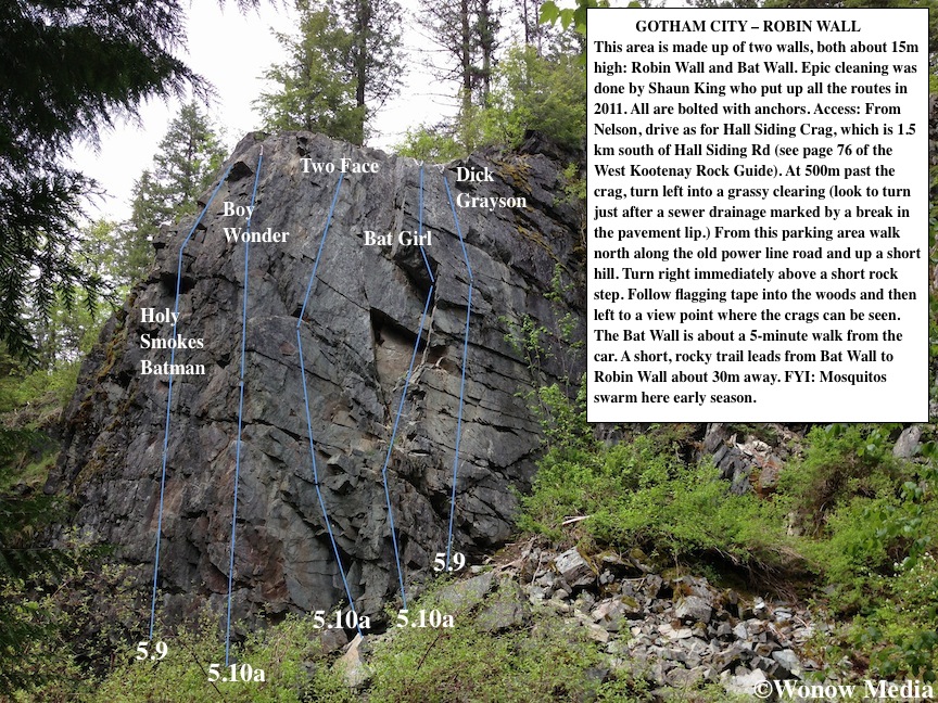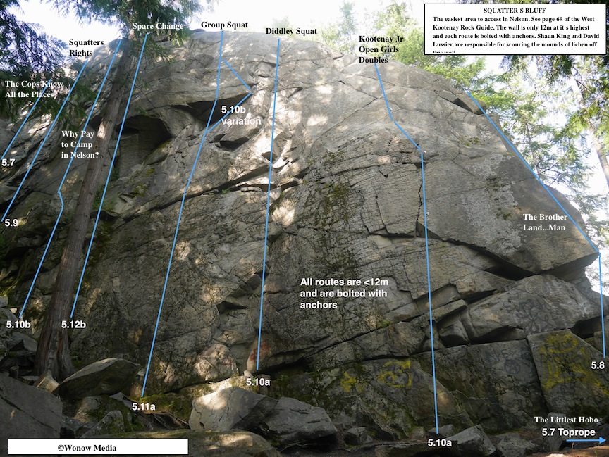
Kootenay Kalymnos – Climbing at China Bend
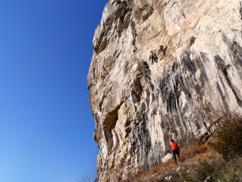
Keith Robine warms up on the über-classic Pork Sausage, 5.11a
I’ve had the good fortune to climb at some of the world’s most famous limestone crags including Kalymnos in Greece, Potrero Chico in Mexico, Railay Peninsula in Thailand and Vinales in Cuba. And while all these locations offer epic sport cragging on tufas and stalactites, they also involve a lot of cost and effort to get to. This shoulder season I found myself longing for a trip to a warm destination that features fun limestone climbing – but time and money were lacking.
So instead I drove the 2 hours from my home in Nelson, BC, to China Bend – the Kootenay’s answer to Kalymnos. The date was November 16 and the thermometer read -12°C when I awoke at 7am. Not exactly inspiring climbing temps. But my Rossland friends had assured me China Bend (which is located 30 minutes south of Rossland in Washington State) was a rock oven and that we’d be climbing in light jackets all day. They were wrong. We climbed in T-shirts.
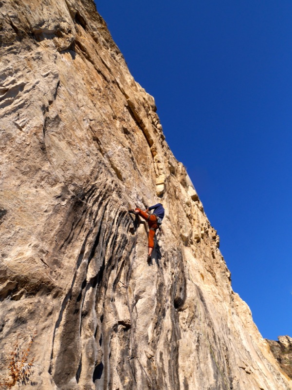
A shirtless (in November!) Jesse Brown on Big Wig Bill, 5.11b
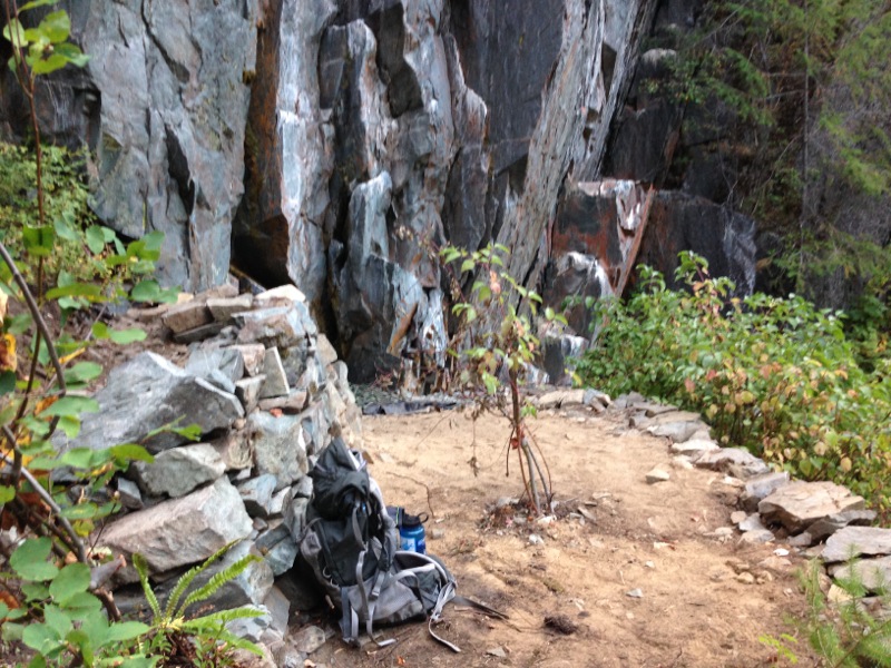
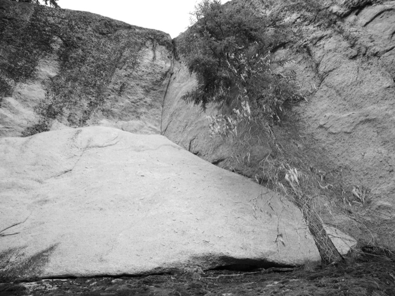
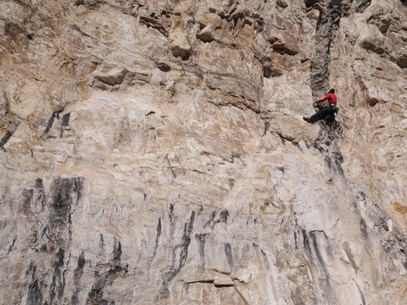
China Bend is a unique limestone rock formation located about 50 kilometres south of Rossland on the shores of the Columbia River. It is an overhanging, south-facing cliff that acts as a solar oven on sunny days, making it unbearably hot in the summer months. In fact, the cliff is closed from mid-February to mid-July to protect raptors that nest there. But when the weather is cooler everywhere else, you can guarantee China Bend is going to be warm.
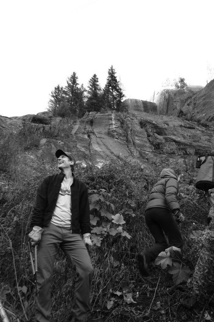
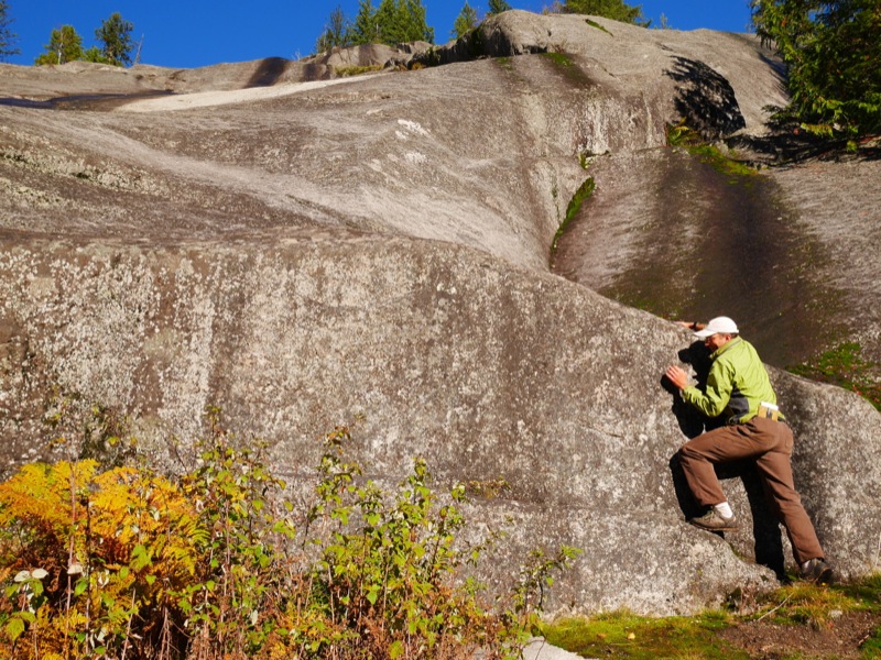
When Jesse Brown, Keith Robine and I parked at the pullout on China Bend Road at 10:30am, the car’s thermometer read -5°C. But by the time we completed the 10-minute hike up to the main cliff, we were sweating.
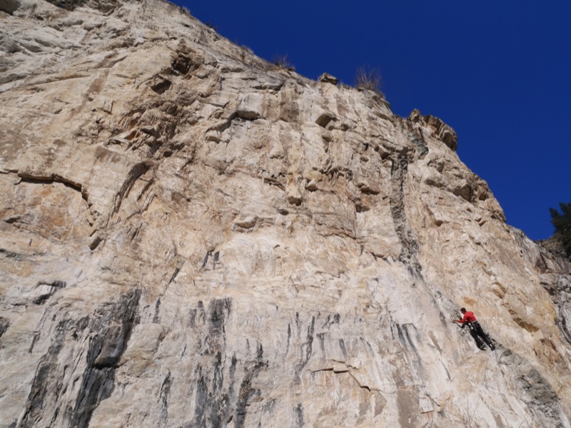
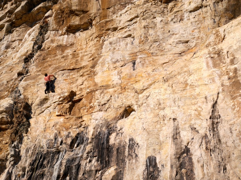
The author on the tofu-pinching classic A River Runs Through It, 5.11c
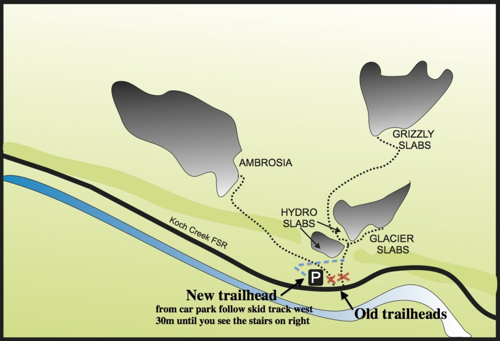
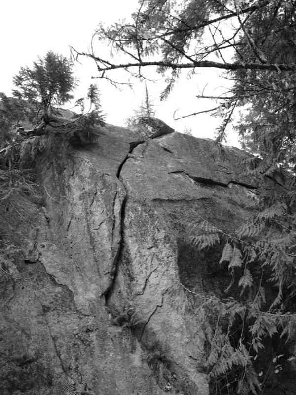
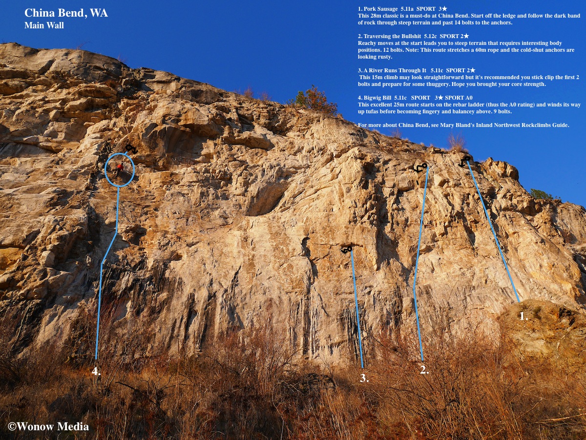
Over the course of the next five hours of sunshine we hopped on four different routes, all of them excellent quality. (See topo map above.) The one thing everyone should know about this area, however, is that the majority of the routes are steep and hard. It was established by Marty Bland and friends, all of them 5.13 climbers, and even some of the “warm-up” 5.11s felt like .12s. (Apparently there are some 5.10s on a smaller crag to the east of the Main Wall but they’re not worth travelling to the area for.) There are 40+ routes on the Main Wall alone and most fall into the 5.12 range although there are a few 5.13s and 5.14s as well.
If you’re looking to improve your stamina and style, though, this is the place to do it. Many routes are 30-metres long and overhang 3 metres. They involve tufa pinching, roof pulling and delicate crimping – basically every style of movement you’ll find at the world’s best limestone crags except there aren’t any stalactites to rest on here.
If you’re interested in visiting China Bend this winter (seriously, you can – both Keith and Jesse have been there in late January) here are directions: From Rossland take BC-22 south to the Paterson border crossing. (Remember to bring your passports!) Once in the United States, drive WA-25 south towards the community of Northport for 11km and just before you cross the bridge, turn right onto Northport Flat Creek Road. After 21.5 km, turn left onto China Bend Road and drive this for 2.4 km. Park at the pullout on the right and the trail is on your right leading up to the crag.
For more information about China Bend, check out Marty Bland’s guidebook called Inland Northwest Rockclimbs.