Tag Archive for: trail

Introducing Smelterview Crag in Trail, BC

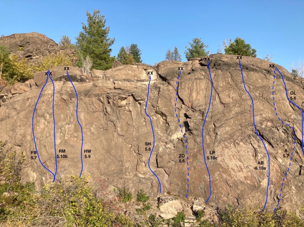
Trail was one of the few West Kootenay communities that didn’t have a rock climbing crag. Hell, even the tiny hamlet of Ymir has one, and it’s good. But thanks to the efforts of teacher Dave Sterpin, Trail can now boast its own climbing cliff, albeit a small one. Located on the bluffs overlooking the Teck Smelter, the 15-metre-high area has nine routes ranging in grades from 5.6 to 5.10c. Most of the climbs are sport although two are currently top-ropes (noted by the dotted lines on the topo) because Dave has yet to finish bolting them. (He plans to finalize them this fall.)

Dave says the crag “was born out of necessity” during the Covid pandemic when he was trying to find activities for his students. “I said to my principal I need five days and a few hundred bucks. And he agreed.” He recommends combining an afternoon outing with a mountain bike ride on the Miral Heights Trail and and enjoying the views down the Columbia River, away from the Smelter. He also says the crag is a good shoulder season spot as it gets hot in the summer and there’s full cell service there.

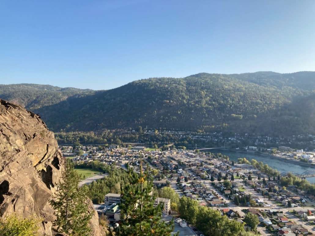
View from the crag. (The one that doesn’t include the smelter.)

Gear: All routes are sport or top-rope, 12 to 15-metres long (so a half-rope will suffice) and require a maximum of six quickdraws.

Access: Hike or bike the Miral Heights trail to the lookout bench. From there turn left and you’ll see the crag about 20 metres away.

Routes: All FAs by Dave Sterpin. Left to right they are:

  • Fallout Boy 5.7
  • Radioactive Man 5.10b
  • Heavy Water 5.9
  • Slag Heap 5.6
  • Zinc Oxide 5.6 TR
  • Lead Poisoning 5.10c
  • Acid Bath 5.10a
  • Arsenic 5.7 TR
  • Old Lace 5.6

Why You Should Love the Shoulder Season (and its dog turds)

The south-central BC weathermen are calling for flurries tonight and snow is forecasted to settle in the valley bottoms. This means we should wake up tomorrow to a beautiful world of grey skies and white and black streets bordered by brown yards pebbled with dog turds.

On second thought, that doesn’t sound so beautiful. In fact, it’s just a typical shoulder season scene in which the browns and blacks have yet to be buried under fields of virgin white. Rain interspersed with snow whips up brownie batter in the alleys and gutters and we’re left pining for real snow – the kind that allows you to ski the streets to work in the morning.

Do we really need that snow to see the beauty though?

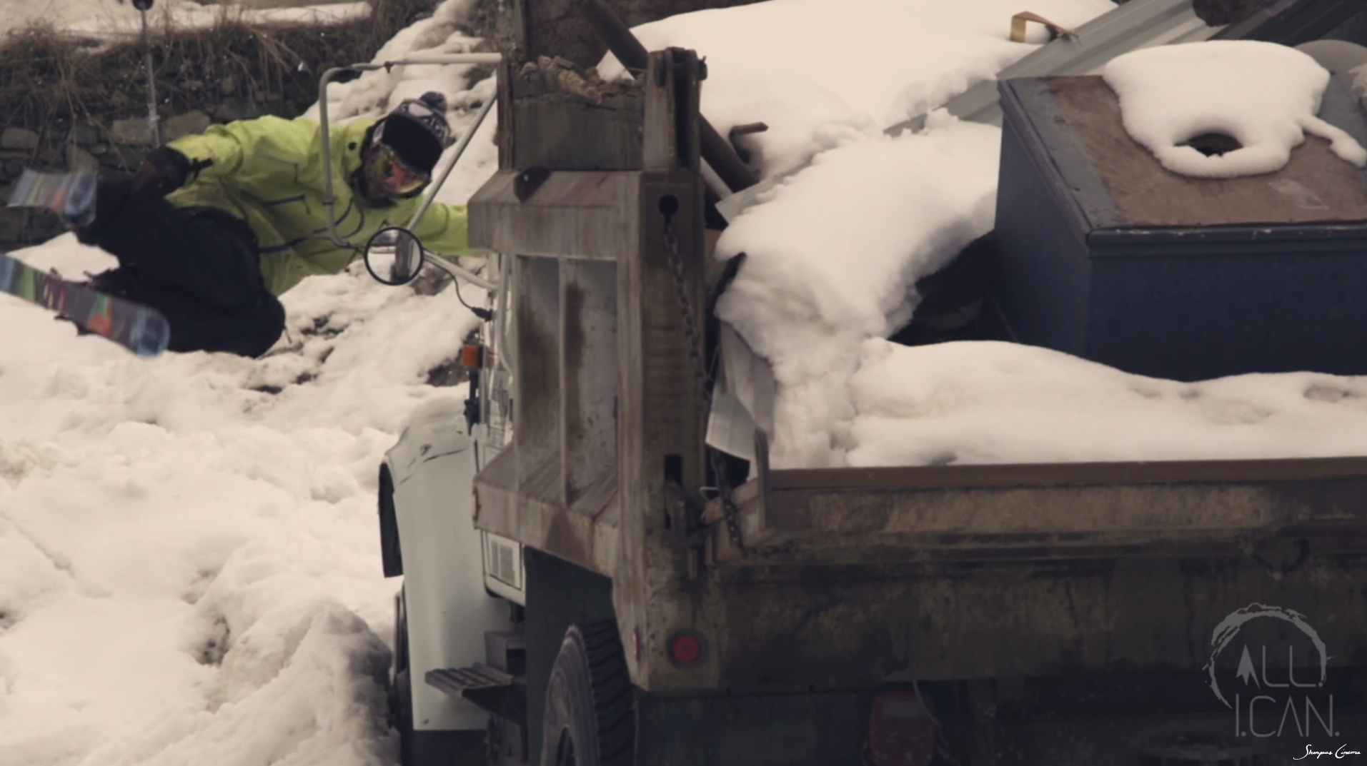
Consider the chapter featuring JP Auclair in 2012′s All I Can film. It takes an overcast, dirty, rusty grey street scene and turns it into a joyous, yellow romp through the yards and alleys of two BC mountain towns: Trail and Nelson. (Was anyone else choked that Nelson didn’t get its due in the Chapter opener?)

It took director Dave Mossop of the Sherpas 14 days to film in the two cities (located about 70 kms apart) and in that time he said he shovelled almost as much dog poop as snow. He said that the grey skies were important for continuity and so it was probably the first time in history two skiers actually prayed for continuous rain clouds and not snow.

It was also one of the first times that a shoulder season shot usurped any footage of epic mountain powder turns. (When the Sherpas first posted Auclair’s street segment it hit 124,000 views on its first day and tipped the one million mark after a week.)

So while many of us stare out at the muddy landscape that is the typical shoulder season scene, remember there’s beauty to be found in the brown: get out there, pile up some poop, smear it with snow, and practice 360s over your neighbour’s laundry line. And rest assured in the knowledge that soon enough the world will once again go white.

JP Auclair Street Segment (from All.I.Can.) from Sherpas Cinema on Vimeo.

Kootenay Kalymnos – Climbing at China Bend

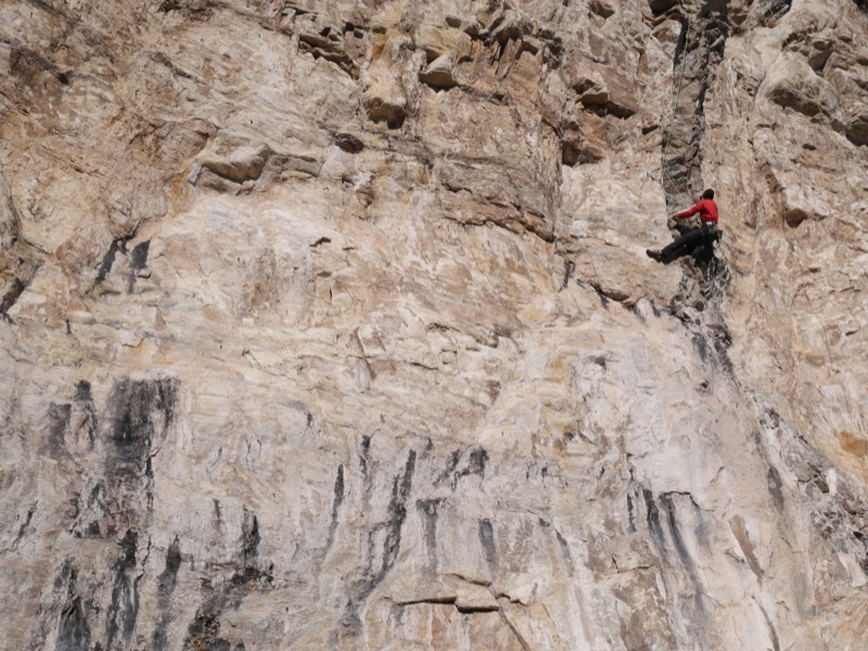
Keith Robine warms up on the über-classic Pork Sausage, 5.11a

Keith Robine warms up on the über-classic Pork Sausage, 5.11a

I’ve had the good fortune to climb at some of the world’s most famous limestone crags including Kalymnos in Greece, Potrero Chico in Mexico, Railay Peninsula in Thailand and Vinales in Cuba. And while all these locations offer epic sport cragging on tufas and stalactites, they also involve a lot of cost and effort to get to. This shoulder season I found myself longing for a trip to a warm destination that features fun limestone climbing – but time and money were lacking.

So instead I drove the 2 hours from my home in Nelson, BC, to China Bend – the Kootenay’s answer to Kalymnos. The date was November 16 and the thermometer read -12°C when I awoke at 7am. Not exactly inspiring climbing temps. But my Rossland friends had assured me China Bend (which is located 30 minutes south of Rossland in Washington State) was a rock oven and that we’d be climbing in light jackets all day. They were wrong. We climbed in T-shirts.
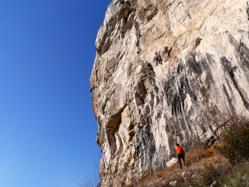
A shirtless (in November!) Jesse Brown on Big Wig Bill, 5.11b

A shirtless (in November!) Jesse Brown on Big Wig Bill, 5.11b

China Bend is a unique limestone rock formation located about 50 kilometres south of Rossland on the shores of the Columbia River. It is an overhanging, south-facing cliff that acts as a solar oven on sunny days, making it unbearably hot in the summer months. In fact, the cliff is closed from mid-February to mid-July to protect raptors that nest there. But when the weather is cooler everywhere else, you can guarantee China Bend is going to be warm.

When Jesse Brown, Keith Robine and I parked at the pullout on China Bend Road at 10:30am, the car’s thermometer read -5°C. But by the time we completed the 10-minute hike up to the main cliff, we were sweating.
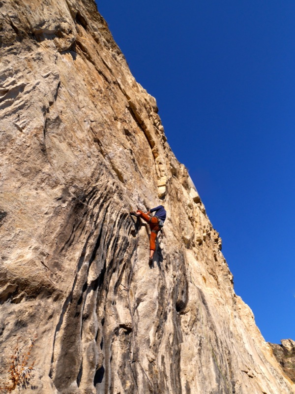
The author on the tofu-pinching classic A River Runs Through It, 5.11c

The author on the tofu-pinching classic A River Runs Through It, 5.11c

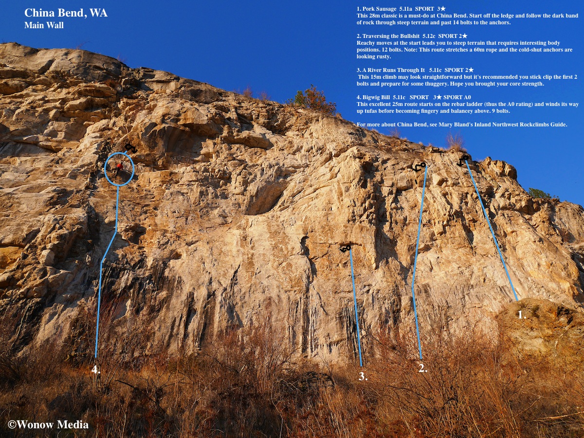
Over the course of the next five hours of sunshine we hopped on four different routes, all of them excellent quality. (See topo map above.) The one thing everyone should know about this area, however, is that the majority of the routes are steep and hard. It was established by Marty Bland and friends, all of them 5.13 climbers, and even some of the “warm-up” 5.11s felt like .12s. (Apparently there are some 5.10s on a smaller crag to the east of the Main Wall but they’re not worth travelling to the area for.) There are 40+ routes on the Main Wall alone and most fall into the 5.12 range although there are a few 5.13s and 5.14s as well.

If you’re looking to improve your stamina and style, though, this is the place to do it. Many routes are 30-metres long and overhang 3 metres. They involve tufa pinching, roof pulling and delicate crimping – basically every style of movement you’ll find at the world’s best limestone crags except there aren’t any stalactites to rest on here.
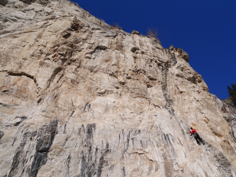
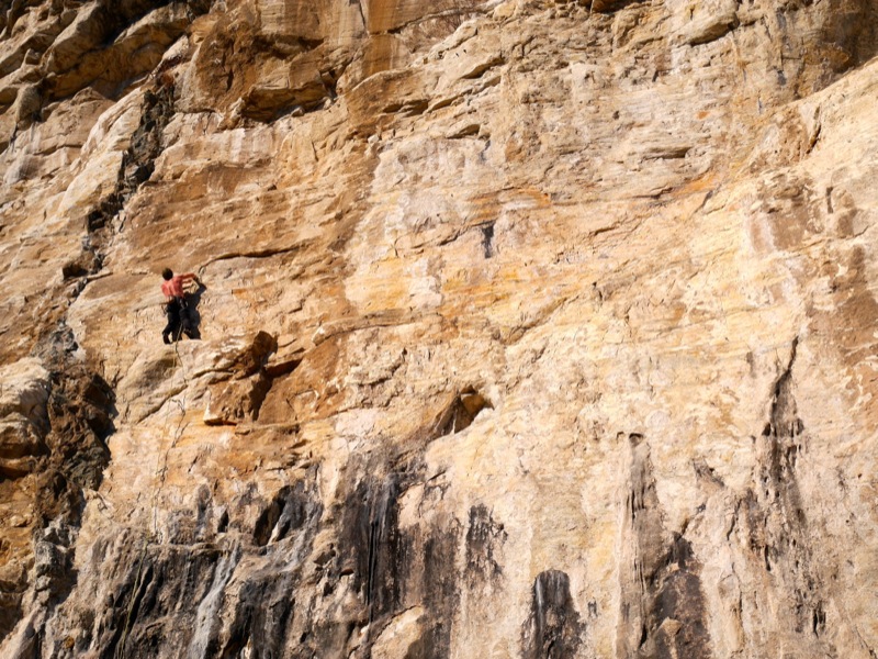
If you’re interested in visiting China Bend this winter (seriously, you can – both Keith and Jesse have been there in late January) here are directions: From Rossland take BC-22 south to the Paterson border crossing. (Remember to bring your passports!) Once in the United States, drive WA-25 south towards the community of Northport for 11km and just before you cross the bridge,  turn right onto Northport Flat Creek Road. After 21.5 km, turn left onto China Bend Road and drive this for 2.4 km. Park at the pullout on the right and the trail is on your right leading up to the crag.

For more information about China Bend, check out Marty Bland’s guidebook called Inland Northwest Rockclimbs.